Our Neighbors in the North Loop Need Help with this Special Project
 Monday, September 20, 2010 at 7:35AM |
  Kim Eslinger |
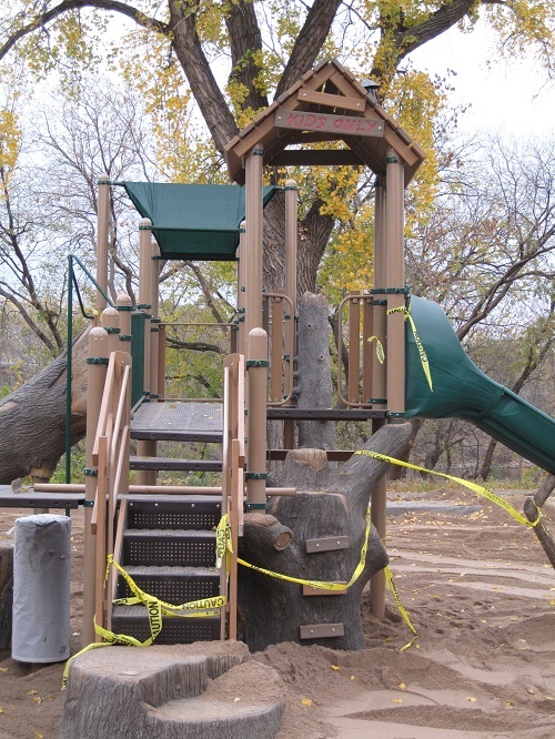
 We are fortunate to have so many beautiful parks just a stroll away. But wouldn't it be nice for those of us with young children or grandchildren to have a fully equipped playground as well? That dream is coming true where 4th Avenue North meets West River Parkway. Earlier this month, the Minneapolis Park and Recreation Board released an update entitled "Preparations for construction of 4th Avenue playground underway".
The article mentions the location of this new playground as 4th Avenue North and James I. Rice Parkway (rather than West River Parkway). I wasn't familiar with James I. Rice Parkway, but a quick Google search yielded a description on the Minneapolis Park and Recreation Board's web site:
"Part of the Grand Rounds Scenic Byway, James I. Rice Parkway extends West River Parkway along the Mississippi River through downtown Minneapolis from Portland Ave. S to Plymouth Ave. N. Featuring paved walking and cycling paths, riverside hiking trails, picnic areas and beautiful scenery, the two-way parkway is as much a destination as it is a passage.
Heading north from Mill Ruins Park and the Stone Arch Bridge, James I. Rice Parkway passes under the 3rd Avenue Bridge, goes past the main Minneapolis Post Office and First Bridge Park, where it passes under the Hennepin Avenue Bridge. From there the parkway continues past the Federal Reserve Bank and under the NicolletIsland railroad bridge before intersecting with 4th Ave. N, which allows easy access the city’s Warehouse district and North Loop neighborhood. From 4thAve. the parkway winds along until reaching the Plymouth Avenue Bridge, at which point, James I. Rice Parkway reverts to West River Road.
The central riverfront parkland along James I. Rice Parkway presents a picturesque site for weddings, and offers ample recreational opportunities. Multiple tree-shaded picnic areas feature tables, grills, benches and horseshoe pits. Paved paths take park goers from the river’s edge at St. Anthony Falls, past interpretive and artistic installations and across pedestrian bridges near the sandstone culvert where Bassett’s Creek used to enter the Mississippi River. Other nearby recreation destinations include Orvin “Ole” Olson Park, Boom Island Park and Nicollet Island Park.
Opened in October, 1987, the parkway is named for James I. Rice, a longtime state legislator from northeast Minneapolis, who was an instrumental figure in funding the development of regional parks."
In addition to the donors listed in the article, there are other fund raising initiatives going on. For example, a number of downtown restaurants are hosting fund raising dinners. In our neighborhood, Spill the Wine is participating October 12. For additional fund raising opportunities, visit the North Loop Neighborhood web site.
We'll be sure to take pictures and post progress updates whenever our strolls take us outside the Mill District.


Reader Comments